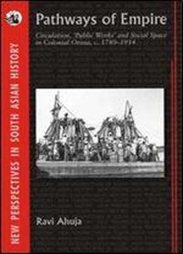
Pathways Of Empire: Circulation, Public Works And Social Space In Colonial Orissa, C. 1780 1914 (new Perspectives In South Asian History)
by Ravi Ahuja /
2009 / English / PDF
11.8 MB Download
More and improved roads, railways and canals are they in the public t under all circumstances? Phrases like public works or infrastructure are rarely subjected to historical reflection. Colonial, nationalist and postcolonial operators have presented their transport policies as if they were informed by the needs of a general public and not shaped according to preferences of particularistic forces. Pathways of Empire moves beyond the technocratic progressivism of earlier writings on the history of transport. For the first time theories of produced social space are concretised in order to open a new perspective on India s social history of circulation and infrastructure. Moreover, the prevalent and narrow focus on railways is overcome. The effects of the steam revolution are thus located in the wider context of existent South Asian regimes of circulation.
Part I of this book develops a conceptual framework of social space that is applied in Part II to the specific historical contexts of the British-ruled districts and princely states of Orissa in the long nineteenth century. It reconstructs the slow transformation of an ancien rgime of circulation that largely survived the colonial annexation of coastal Orissa by half century into a new regime of circulation that was well tuned in to the exigencies of colonial capitalism by World War I.
Drawing upon extensive and unexplored archival materials, Ravi Ahuja discusses a wide range of issues including caravan and river trade, rural resistance against roads and canals, the effects of the 1866 famine, pilgrimage and migration, the commercialisation of princely states and the modernisation of forced labour.
Interesting features of this book are eight historical maps grouped towards the end of the book and a 20 x 30 pull out map which shows in great detail the uneven terrain of Orissa and the feudatory states. The latter is folded and tucked into a pocket on the inside of the back cover.


