Early Geological Maps Of Europe: Central Europe 1750 To 1840
by Jan Kozák /
2016 / English / PDF
24.6 MB Download
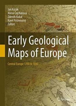
This book focuses on the presentation and evaluation of geological
maps of the Central Europe from 1750 up to 1840. Milestones in
presentation of stratigraphy and tectonics and new geological
models on such maps will be underlined. Map descriptions contain
fundamentals editorial data as well as the map author’s affiliation
and biographies. It represents for the region of the Central
Europe the first work of this type. Geological maps represent
geological synthesis and indicate the level of geological knowledge
throughout history. They serve as guidelines for an economic
utilization of mineral deposits and further geological
investigation.